Space-Based Tree Monitoring for Volcanic Eruptions
Predicting volcanic eruptions remains a significant challenge, despite advancements in monitoring ground deformation, gas emissions, and seismic activity. However, a new collaborative effort between NASA and the Smithsonian Institution is exploring a novel approach: using satellite imagery to analyze changes in tree foliage as an indicator of volcanic activity.
A Novel Approach to Early Warning Systems
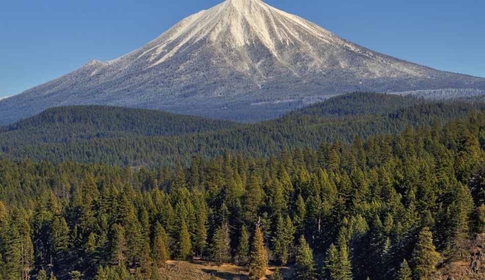
The idea leverages the known phenomenon of altered leaf coloration and growth near active volcanoes. As magma rises, released gases like carbon dioxide and sulfur dioxide influence the surrounding vegetation, making it noticeably lusher. While directly observing carbon dioxide emissions from space is difficult, the effect on trees provides a valuable indirect indicator.
This multidisciplinary collaboration brings together volcanologists, botanists, and climate scientists. The goal is to develop methods for using existing satellite data to detect subtle changes in tree canopies that might precede an eruption. This approach offers the potential for significantly expanding the reach and effectiveness of existing early warning systems.
Challenges and Limitations
The approach is not without its challenges. Not all volcanoes are situated near sufficient tree cover for satellite monitoring to be effective. Furthermore, diverse tree species may exhibit varying responses to increased carbon dioxide, and other factors such as fires, weather, and diseases can complicate data interpretation. It's crucial to remember that no single method offers perfect predictive capabilities.
Despite these limitations, researchers remain optimistic. This innovative method promises to enhance existing early warning systems, adding another layer of data for a more comprehensive and timely assessment of volcanic activity. The integration of this approach into existing monitoring networks holds immense potential for improving public safety.
Source: Gizmodo