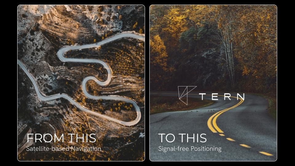
Ditching GPS? Tern AI's Finds Your Way Without Satellites
Ever been stuck in GPS hell, missing exits and cursing the heavens (or rather, the satellites)? You're not alone. Tern AI, an Austin-based startup, thinks they've cracked the code to reliable navigation without relying on those pesky satellites. Yep, you read that right.
Forget triangulation, Wi-Fi, or anything else that connects you to the outside world. Tern AI claims to pinpoint your location using only map data and your car's existing sensors. Think of it as a super-smart, self-contained navigation system.
At SXSW, they showed off their tech to TechCrunch, proving they could "derive a position from nothing." Brett Harrison, co-founder and president, explained that this is a game-changer, freeing us from the limitations of triangulation-based systems.
Why ditch GPS?
Harrison highlights several key reasons. For businesses like ride-hailing and delivery services, GPS glitches cost time, money, and fuel. But the implications go far beyond that. Critical systems like aviation, disaster response, and even farming rely on GPS, which is vulnerable to spoofing by foreign adversaries. Scary, right?
The U.S. government is taking notice. President Trump previously signed an executive order to reduce reliance on single-source PNT services like GPS, and other initiatives are pushing for the integration of non-GPS technologies.
Low Cost, High Impact
Tern AI emphasizes its cost-effectiveness. Harrison stated that their development costs were a fraction of what other AI companies spent on similar positioning tech. They achieved this with less than $2 million, while government-backed solutions cost billions.
How Does It Work?
The demo involved connecting a 2019 Honda Civic to a phone via Bluetooth, allowing the Tern app to access the car's sensor data. The tech works with vehicles from 2009 and newer and can be integrated directly into the car's system.
For the demo, they performed a "cold start," disabling the phone's location services. The system then used only a cached map of a 500-square-mile area and the car's sensors. It took about 10 minutes for the system to "converge" due to traffic, but Harrison said convergence usually takes only a minute or two, and is immediate with a starting point.
GPS Killer?
Tern AI's system can also function in areas where GPS struggles, like parking garages, tunnels, and mountains. The exact method remains "proprietary," but the results speak for themselves.
During the demo, the system tracked the car's movements with impressive accuracy, even outperforming Google Maps in downtown Austin, where tall buildings often interfere with GPS signals.
Privacy Matters
Harrison also emphasized the privacy benefits. Unlike GPS, which can be tracked by anyone with your ID, Tern's system is a "total closed loop." It derives its position independently, with no external touchpoints.
Scalability is Key
Tern AI designed its system for scalability. Unlike expensive, hardware-heavy solutions, Tern's tech can be implemented via a simple software download for automakers and mobile phone manufacturers.
The Future of Navigation?
Tern AI is open to various possibilities, including growth and acquisition, with the goal of getting their technology into the hands of the economy. They're also exploring opportunities with the government, having recently received a contract award from the U.S. Department of Transportation.
This startup is hoping to show what’s possible with American innovation. Could this be the end of GPS frustration? Only time will tell, but Tern AI is certainly making a compelling case.
Source: TechCrunch